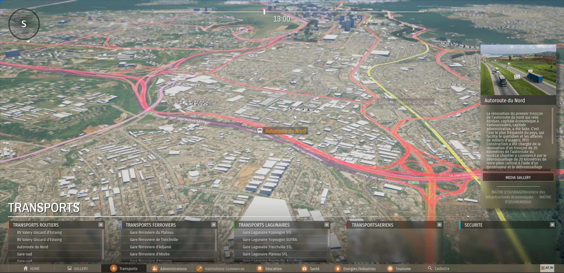
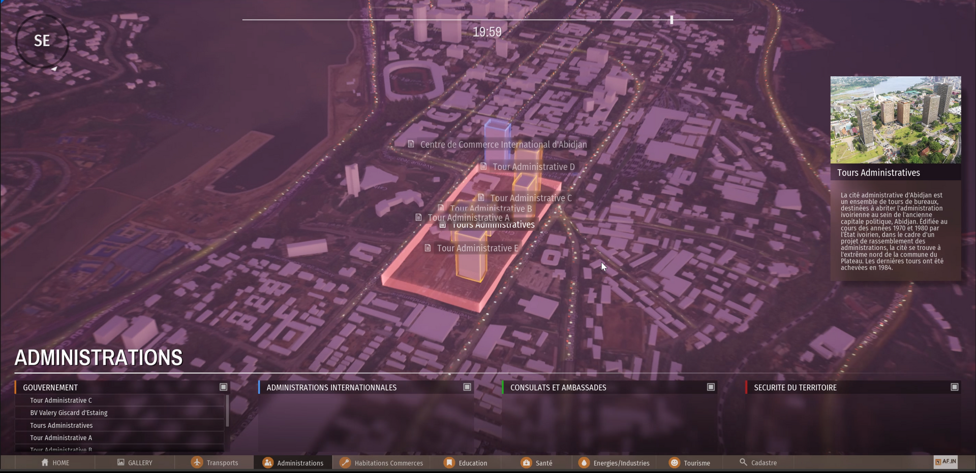
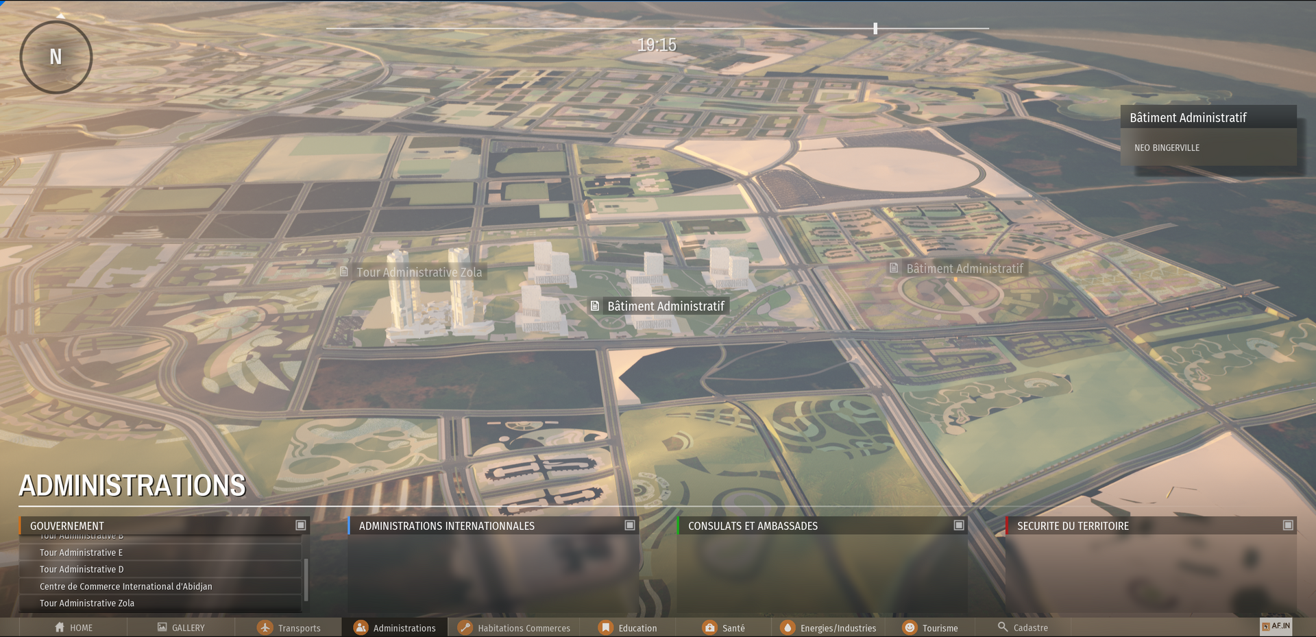
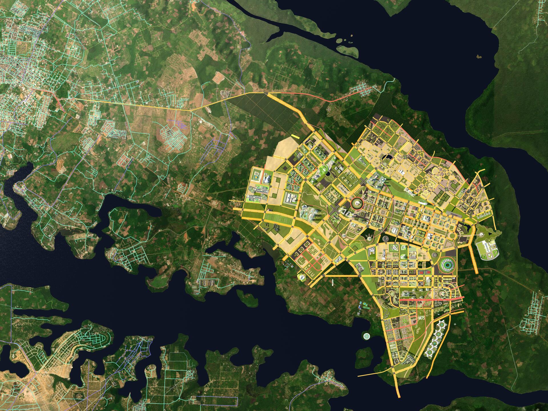
AF.IN is an IT tool under development allowing the collection, storage, processing and visualization of geographical data of a territory. This application will offer advanced mapping and spatial analysis functionalities, which will allow users to better understand the characteristics of the territory, to plan development projects and to make informed decisions.

AF.IN The application is based on the project development system created by Archinnovates,SA called LIMET (Living Image of Entire Territory).


Features

- 3D visualization of urban data

- Real-time analysis

- Real-time management and monitoring of infrastructure projects


Archinnovates SA certified Cesium developer!

We are delighted to announce that Archinnovates SA has recently achieved Cesium Certified Developer (CCD) certification. This certification recognizes our expertise and our commitment to the use and promotion of Cesium technologies in the field of 3D visualization and online mapping.

The Archinnovates SA team has worked diligently to master the skills necessary to obtain this certification. We are proud to join the community of certified Cesium developers and collaborate with experts around the world to continue innovating and improving our service offering.


Share by: